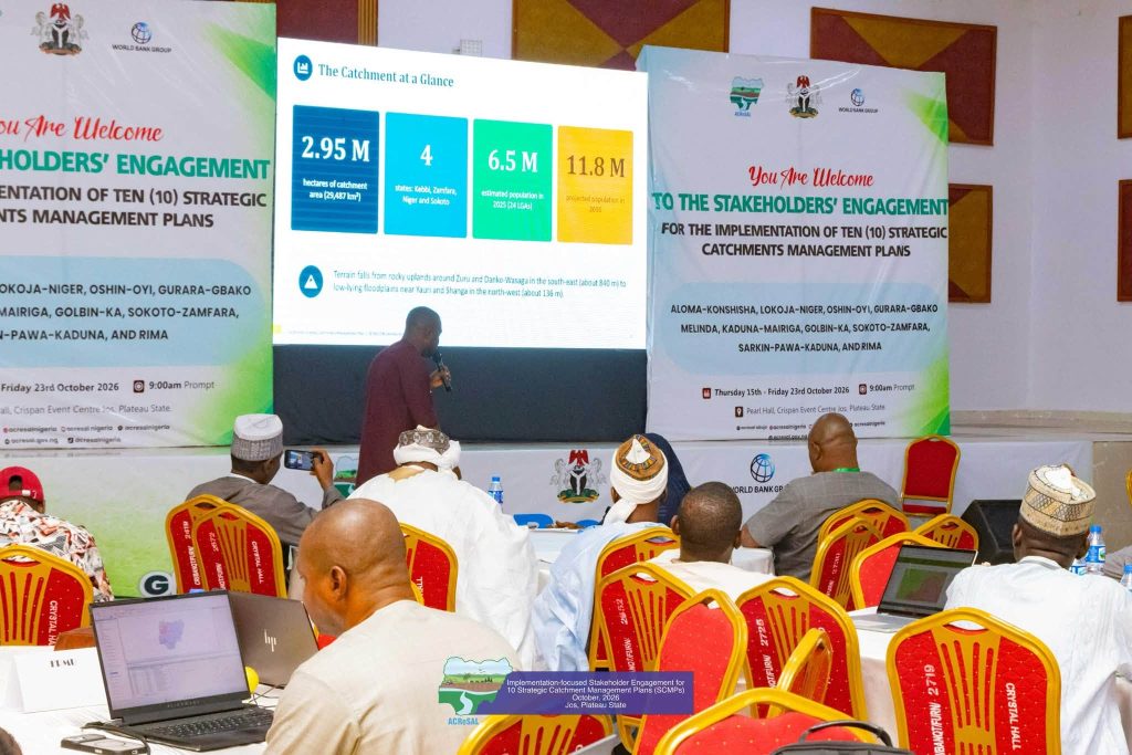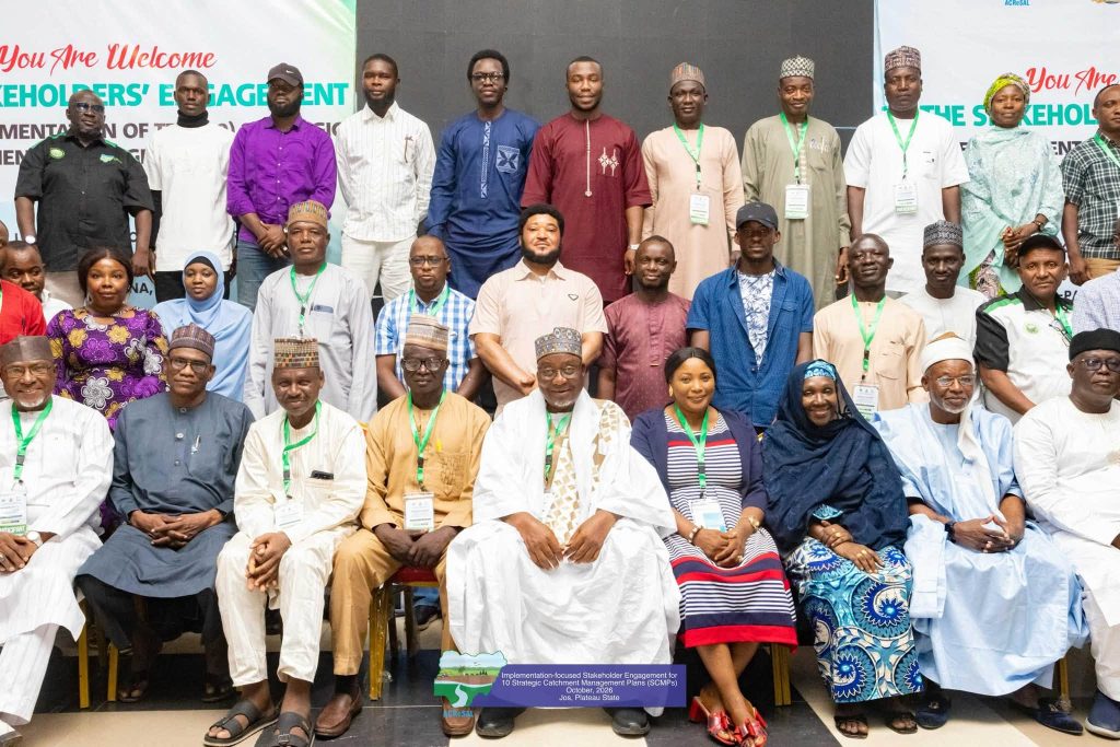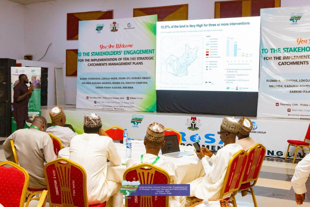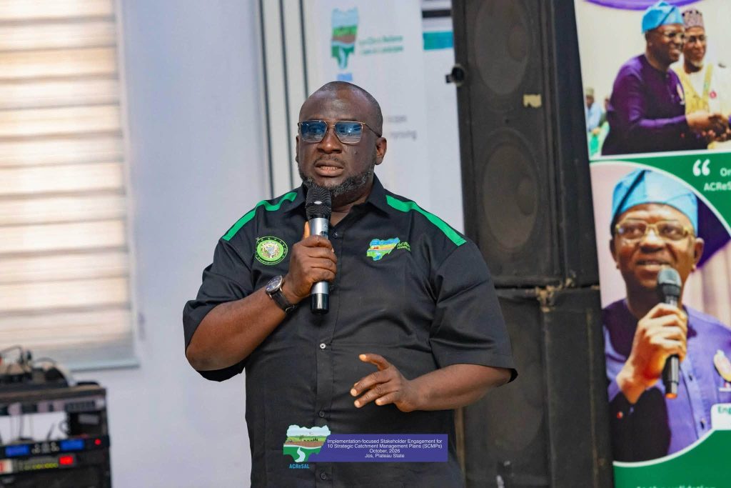
JOS, NIGERIA — Stakeholders from across northern Nigeria have agreed on baseline data, ecological coverage, and targeted priority interventions for the Gulbin-Ka and Malenda Strategic Catchments under the Agro-Climatic Resilience in Semi-Arid Landscapes (ACReSAL) project.
The two strategic catchments, which collectively cover over 5.25 million hectares of land across Kebbi, Zamfara, Niger, and Sokoto states, support an estimated 10.1 million people whose agricultural livelihoods and water security face escalating threats from land degradation, severe erosion, and climate-induced flooding.
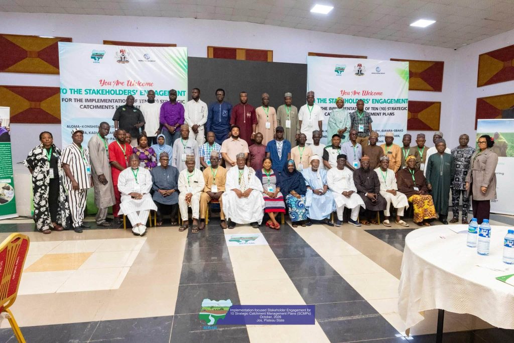
On Day 7 of the implementation-focused stakeholder engagement for 10 Strategic Catchment Management Plans, state delegates, environmental experts, and local community leaders validated key hydrological assessments, GIS mapping, and climate-risk data. This broad consensus establishes a unified roadmap that shifts northwestern Nigeria from reactive disaster management toward proactive, science-based ecosystem restoration.
Covering 2.95 million hectares across 24 local government areas in Kebbi, Zamfara, Niger, and Sokoto states, the Gulbin-Ka Catchment supports 6.5 million residents. However, recent spatial assessments reveal dramatic ecosystem transformations between 2017 and 2023, where agricultural expansion saw farmland grow by more than 378,000 hectares. This rapid expansion came at a steep ecological cost, as wetlands shrank by over 203,000 hectares while natural vegetation lost about 183,000 hectares. Consequently, 87.5 percent of the catchment area is now classified under high to very high flood risk.
With projected water demand in Gulbin-Ka rising steeply from 233 million cubic metres in 2025 to 438 million cubic metres by 2050, stakeholders endorsed an integrated package of interventions. Agreed priorities include comprehensive erosion and flood control, drought mitigation, gully reclamation, riverbank stabilization, afforestation, rangeland management, and addressing farmer-herder clashes and transboundary resource issues.
Similarly, the Malenda Catchment spans 2.3 million hectares across Niger, Kebbi, and Zamfara states. Anchored by the River Malenda and its tributaries, the basin supports a population projected to increase from 3.6 million in 2025 to 6.6 million by 2050. Land-use analysis demonstrates rapid ecological conversion in the basin, with farmland coverage expanding from 57.3 percent in 2017 to 74.6 percent in 2025, while wetland coverage decreased sharply from 22.6 percent to 13.2 percent over the same period.
Hydrological data indicates that despite rising water demand, which is expected to reach 303 million cubic metres by 2050, the Malenda catchment retains an estimated 8.8 billion cubic metres of available water resources. Stakeholders confirmed that capturing this potential requires addressing severe upstream soil erosion, downstream flooding during peak August–September discharges, and siltation. Agreed priority actions for Malenda encompass afforestation, climate-smart agricultural practices, early warning flood systems, shoreline protection, and multi-state governance frameworks.
The consensus reached on the Gulbin-Ka and Malenda catchments underscores the core philosophy of ACReSAL’s strategic management framework, which centers on tackling upstream land degradation to prevent downstream flood disasters and secure rural livelihoods. By grounding intervention choices in rigorous hydrological intelligence, climate modelling, and consensus-based stakeholder engagement, the ACReSAL project ensures that implementation efforts yield measurable, long-term resilience for communities, women, and youth across Nigeria.
ACReSAL..Greening the environment, saving lives